
York County ZIP Code Directory Coverage
This local postal inventory is cautious, not a claim that every listed ZIP lies entirely inside the county. Its postal-place labels come from the research's 2020 Census ZCTA-to-County relationship work, county and city sources, and verified PO Box facts. Use an address-level USPS check for delivery and One Map for parcel or government geography. Border and rural labels especially need that second check.
| ZIP | Areas Covered | Post Office | Notes |
|---|---|---|---|
| 29702 | Blacksburg area | Blacksburg | Border-area postal service; verify the parcel and address. |
| 29704 | Catawba area | Catawba | County and nearby-area postal geography; check jurisdiction. |
| 29706 | Chester area | Chester | Serves beyond York County and is not York-only. |
| 29708 | Fort Mill, Tega Cay, Lake Wylie area | Fort Mill | Major northern postal area; municipal lines differ. |
| 29710 | Clover, Lake Wylie area | Clover | Western county postal area; verify the delivery point. |
| 29712 | Edgemoor area | Edgemoor | Border-area postal place; verify county for each address. |
| 29715 | Fort Mill | Fort Mill | Town postal area, not the same as corporate limits. |
| 29716 | Fort Mill | Fort Mill PO Box | PO Box ZIP, not a residential-area boundary. |
| 29717 | Hickory Grove area | Hickory Grove | Southern and western rural postal service; check the parcel. |
| 29726 | McConnells area | McConnells | Rural postal area within or near York County. |
| 29730 | Rock Hill | Rock Hill | Can include addresses outside city limits or neighboring territory. |
| 29731 | Rock Hill | Rock Hill PO Box | PO Box ZIP, not a geographic resident area. |
| 29732 | Rock Hill | Rock Hill | Northern and western Rock Hill-area postal geography. |
| 29733 | Rock Hill | Unique ZIP | Institutional delivery ZIP, not a neighborhood boundary. |
| 29734 | Rock Hill | Rock Hill | Additional Rock Hill-area standard delivery geography. |
| 29742 | Sharon area | Sharon | Rural postal area; confirm county and city in parcel tools. |
| 29743 | Smyrna area | Smyrna | Rural postal area; confirm delivery and parcel geography. |
| 29745 | York | York | County-seat postal area; city limits still need One Map. |
The documented list calls out 29702 and 29706 as small or border intersections. Postal shorthand should not replace the York County field on a record request, deed, or parcel report.
Verify York County ZIPs by Address
USPS ZIP Code Lookup is the delivery check for an individual address. The research identifies three verification modes: Address, City/State, and Cities by ZIP. In Address mode, a street address with city and state is required, while company is optional. USPS warns that a ZIP result does not confirm that a person or business is at that address. It confirms postal delivery information, not residence or property ownership.
| Address | Use a street address with city and state to verify the mailing ZIP for that delivery point. Company is optional. |
|---|---|
| City/State | Use the postal city and state route when checking the ZIP geography attached to a place label. |
| Cities by ZIP | Use the ZIP route to review the postal city labels returned for that code. |
See the official USPS verification screen before carrying a postal code into a York County property search.
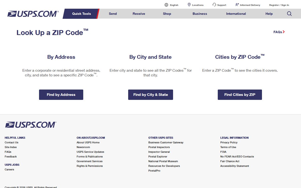
The USPS screen is the postal check in the workflow. It should be followed by a local parcel or jurisdiction check when the question is about York County.
York County ZIP Map Tools
York County One Map is the stronger local tool for municipal limits, parcel jurisdiction, and map context. Its official description connects a parcel location to zoning, districts, school attendance, public-safety context, imagery, and tax information. It does not turn a postal ZIP into a parcel boundary. The County also states that parcel geometry is approximate, so a recorded plat or deed controls the legal description.
| Address | Documented One Map lookup key for selecting a local parcel and report. |
|---|---|
| Tax Map ID | Documented lookup key for a parcel when a property record supplies the identifier. |
| Subdivision | Documented lookup key for narrowing a York County property area. |
| ZIP-wide query | Not documented in One Map or Evolve's public interface. A propertyZipCode attribute in GIS metadata is not a public search promise. |
The official One Map application description shows why the parcel report is useful after a ZIP has narrowed the address question.
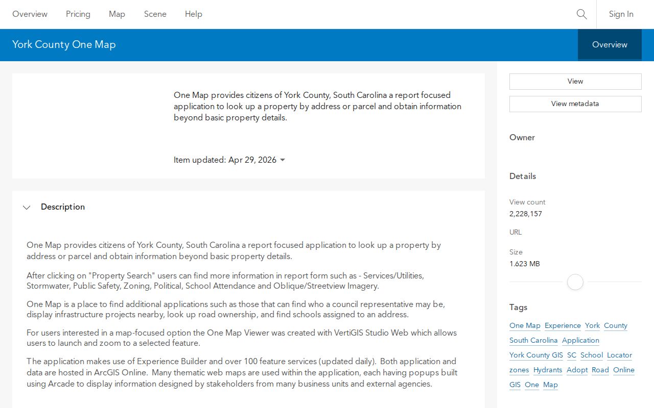
One Map can identify the local parcel and jurisdiction, but it should not be represented as a public York County ZIP-wide resident filter.
Note: Record the date of a One Map check because the official ArcGIS item was updated in April 2026.
Search a York County ZIP
Finding information within one postal area starts at the delivery point, not with a broad name list. York County does not document a public ZIP filter in One Map or Evolve. A GIS technician may be able to provide a ZIP-filtered data request, but the public workflow remains address, Tax Map ID, or subdivision first. Once the particular parcel is known, the property, deed, tax, and jurisdiction records can be read for their own narrow purpose.
- Run the full mailing address through USPS and note the returned postal ZIP without treating it as a city-limit result.
- Open One Map with the address, Tax Map ID, or subdivision to identify the parcel, jurisdiction, and reported legal or plat clues.
- Use the parcel details to check the appropriate York County property or tax record. Keep a separate note for situs address, mailing address, and postal ZIP.
- For an authorized statewide voter-file request, follow the State Election Commission's purchaser and format rules. The documented route allows county and listed district selections, not a claimed public street filter.
- When the question becomes a named street rather than postal geography, use the York County streets directory for the address-record chain.
A postal directory can narrow a search. It cannot identify everyone at a location, settle county jurisdiction, or replace a recorded legal description.
York County ZIP Postal Overlap
Northern York County makes the postal-versus-government distinction easy to see. ZIP 29708 serves the Fort Mill, Tega Cay, and Lake Wylie area, while 29715 is a Fort Mill postal area. Neither label is a finding about a municipal boundary. Rock Hill has several standard-delivery labels, including 29730, 29732, and 29734, and the research cautions that a Rock Hill postal area can reach outside city limits or into neighboring territory.
For rural and border areas, the same discipline applies. Blacksburg, Catawba, Chester, Edgemoor, Hickory Grove, McConnells, Sharon, and Smyrna labels can point to a service area that needs a parcel-level county and jurisdiction check. The ZIP field is useful to route a mailing question; the One Map report and legal record answer a land or local-government question.
York County ZIP Postal Types
Not every ZIP in the local postal inventory describes a residential area. The research identifies 29716 as Fort Mill PO Box, 29731 as Rock Hill PO Box, and 29733 as a unique institutional delivery ZIP. Those codes can be valid postal destinations without defining a neighborhood, a municipal ward, or a set of parcels. Treat them as delivery categories first.
That distinction prevents a common records error. A postal code attached to a mailing address can differ from the property's situs address, while a parcel may sit within a city or district whose outline does not follow any USPS service area. For a name or ownership question, use the postal code only as one label and check the local property record before inferring a location.
York County Addressing Quirks
The York County Addressing and Street Naming Guidelines explains why an address can need more than a ZIP check. Public Safety Communications assigns, changes, or verifies addresses in unincorporated York County and municipalities other than Rock Hill. Rock Hill Information Technology Services handles review inside Rock Hill corporate limits. The County's Master Address Database is the declared authoritative street-name and address source shared with municipalities, state agencies, USPS, and utilities or public services.
Most county addressing uses linear distance, with odd numbers on the left and even numbers on the right as numbering increases. Downtown Rock Hill and other municipal downtowns retain an older axial grid. The County no longer issues half-number addresses, although about 250 existing Rock Hill examples remain grandfathered. It may use numeric unit, apartment, or suite subaddresses instead of issuing letters. That local quirk can explain why an older address fails a simple postal search.
The manual also gives continuity examples: Bethel Street in Clover corresponds to W. Highway 55 in county naming, and W. Main Street in Rock Hill is York Highway outside city limits. A change in street label, annexation, or USPS ZIP does not erase the need to compare the parcel's legal description.
York County ZIP Boundaries
A ZIP is a USPS delivery construct, not a city boundary, municipal jurisdiction, election precinct, school zone, tax district, or parcel identifier. The York County GIS office handles the local channel for questions about addresses and city or county limits. When postal and government information disagree, retain both values and use the value that matches the record being checked.
- ZIP and ZIP+4
- A ZIP identifies a postal delivery geography. ZIP+4 adds a more specific postal delivery designation and does not create a new city or parcel boundary.
- PO Box ZIP
- A code assigned for post office boxes, such as the documented Fort Mill and Rock Hill examples, rather than a residential area.
- Unique ZIP
- A delivery code used for a single institution, such as the documented Rock Hill example, not a neighborhood boundary.
- Carrier route
- A postal delivery grouping. It should remain separate from county jurisdiction, tax district, and legal property description.
Boundary check. A valid York County ZIP does not prove a city limit, parcel line, or person at an address. Confirm delivery with USPS and local geography with One Map.
York County ZIP Parcel Continuity
Postal labels can change while a lot, plat, or deed reference preserves a property's trail. York County's tax-map legend uses elements such as street address, lot number, map number, and GPIN, but the exact identifier style changes with the parcel and map. A legal description may use a subdivision lot and block, a plat, or metes and bounds. Copy both the current postal address and the legal description when an old address must be reconciled with a current record.
The York County Assessor is the county's property-record entry point.
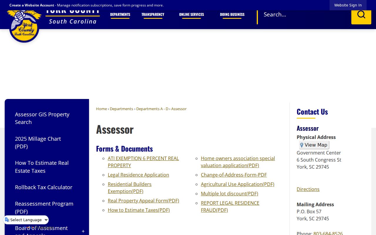
The Assessor page provides property-record context after a full address and its postal ZIP have been checked.
For a property-account route, use the York County Tax Collection page.
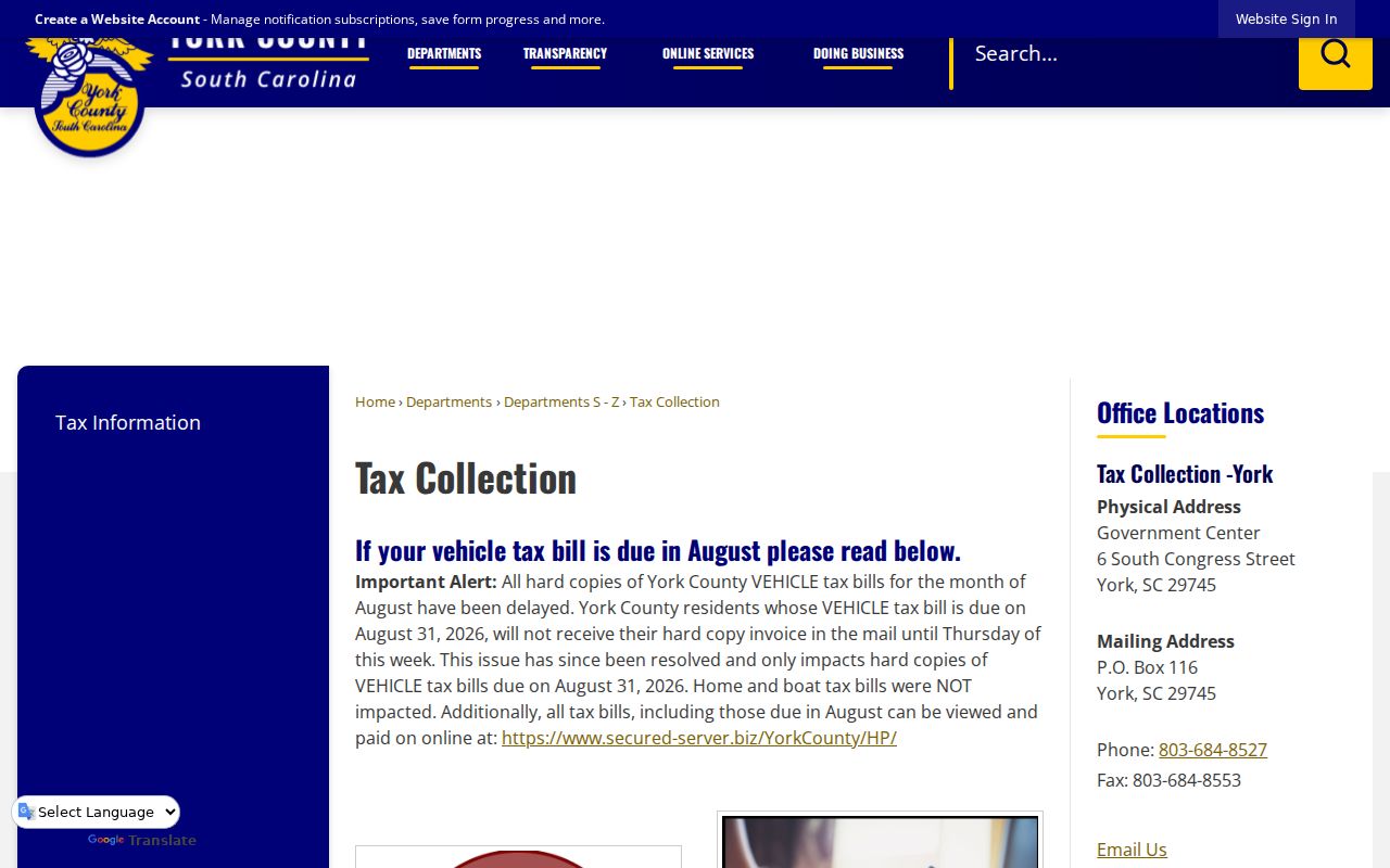
Tax-account context can support a parcel question, but it does not convert a postal code into proof of current residency.