
York County Block Lookup Sources
For a York County block, the useful public trail begins with the parcel map and stays focused on the addresses immediately around it. A parcel report can show geometry, Tax Map ID, street address, government layers, and property context. A plat can connect lots and a subdivision. Historic directories can offer a past head-of-household clue. Community programs may identify a voluntary contact layer. None of these sources is a list of all neighbors, so the source and its limit should be recorded together.
| Source | What It Shows About a Block | Access |
|---|---|---|
| York County One Map parcels | Adjacent parcel geometry, street addresses, Tax Map IDs, and government layers | Public map and report |
| Register of Deeds and recorded plat | Lot, block, subdivision, and recorded property relationships | Online index, counter, or archive route |
| Assessor property-card route | Current parcel, tax, and property context | Assessor or Evolve entry point |
| City or county permit file | Address-specific construction or compliance history | Correct custodian and public-records channel |
| Historical directories | Past head-of-household evidence at a street address | York County Library or Historical Center |
| Rock Hill Neighborhood Empowerment | Association and civic-contact geography within city limits | City program and Map Gallery |
Ownership is a recorded or tax label, not a statement of current presence. A parcel can be held by an individual, business, estate, trust, or public entity. Mailing and situs addresses may not match. Those distinctions are the foundation for a careful block search and prevent a map result from being overstated.
York County Parcel Lookup Walk
The adjacent-parcel method uses the map as a visual research tool. York County One Map can search an address, Tax Map ID, or subdivision, then open a property report. Its map-focused design can zoom to a selected feature. The research did not verify a one-click neighbor export, so each bordering or nearby parcel must be selected and reviewed individually. A map layer is the beginning of a block inquiry, not a replacement for the recorded land description.
- Search the target address, select the correct parcel, and save its Tax Map ID, street address, subdivision, lot clues, and jurisdiction.
- Use the parcel layer to identify parcels that border or sit immediately nearby. Click each parcel and open its report rather than relying on visual distance alone.
- Compare the street address, Tax Map ID, lot or subdivision, zoning, jurisdiction, and map geometry shown for each selection.
- Use a recorded plat or deed when a lot line matters. Match the legal description, lot, block, and plat reference before assuming two parcels share a boundary.
- Keep a source note for every result. Use the owner label as a recorded-party lead, not a claim about who is present at the address.
One Map reports can also include districts, services, public safety, zoning, school-attendance, and imagery context. For a longer named-street record chain, use the York County street directory rather than extending a block-level review beyond its purpose.
York County Block Record Boundaries
Parcel geometry in One Map is mapping-quality information compiled from recorded plats and deeds, tax maps, and orthophotography. The county says the parcel layer receives continuing updates as plats and surveys are recorded, but a drawn line is still approximate. A fence, driveway, or visual gap on imagery does not control the legal boundary. When an adjacent parcel question depends on the exact line, the recorded plat or deed is the source to read.
The property report can provide strong bridge fields: Tax Map ID or Parcel ID, subdivision and lot, parent tax ID, latest deed or plat book and page, sale date, and previous owner or grantor. It also keeps mailing-address fields separate from the property or situs address. That separation is useful when mapping a York County block because it identifies the role of each field instead of turning every address label into a resident claim.
York County Civic Contact Records
Neighborhood information in the researched sources is voluntary and geographic. Rock Hill's Neighborhood Empowerment program supports groups within city limits with formation help, flyers, phone trees, leader notices for public meetings, and arrangements for police attendance to discuss local incident reports. The Map Gallery labels association areas, not member households. That makes the program useful when a person seeks a public community contact, but not when they want private names or addresses.
| Public contact layer | Geographic or historical context | Appropriate access | What it is not |
|---|---|---|---|
| Rock Hill Neighborhood Empowerment | City-limit groups and leader-contact support | Use the public program contact for a voluntary group | A countywide membership list |
| Rock Hill Map Gallery | Areas labeled Armory, Boyd Hill, College Downs, Flint Hill, Hagins/Fewell, Laney Terrace, Pine Ridge, South Central, Sunset Park, and others | Use the program's mapped civic layer | A list of people at addresses |
| City of York staff directory | Public departments, positions, and designated clerks | Contact the listed city office for city-held records | A directory of private residents |
| Historical Center community holdings | Donated garden-club, literary-society, church, and community materials | Ask the Historical Center about on-site or research-service access | A current association roster |
The City of York staff directory is the source captured below for the civic-contact route.
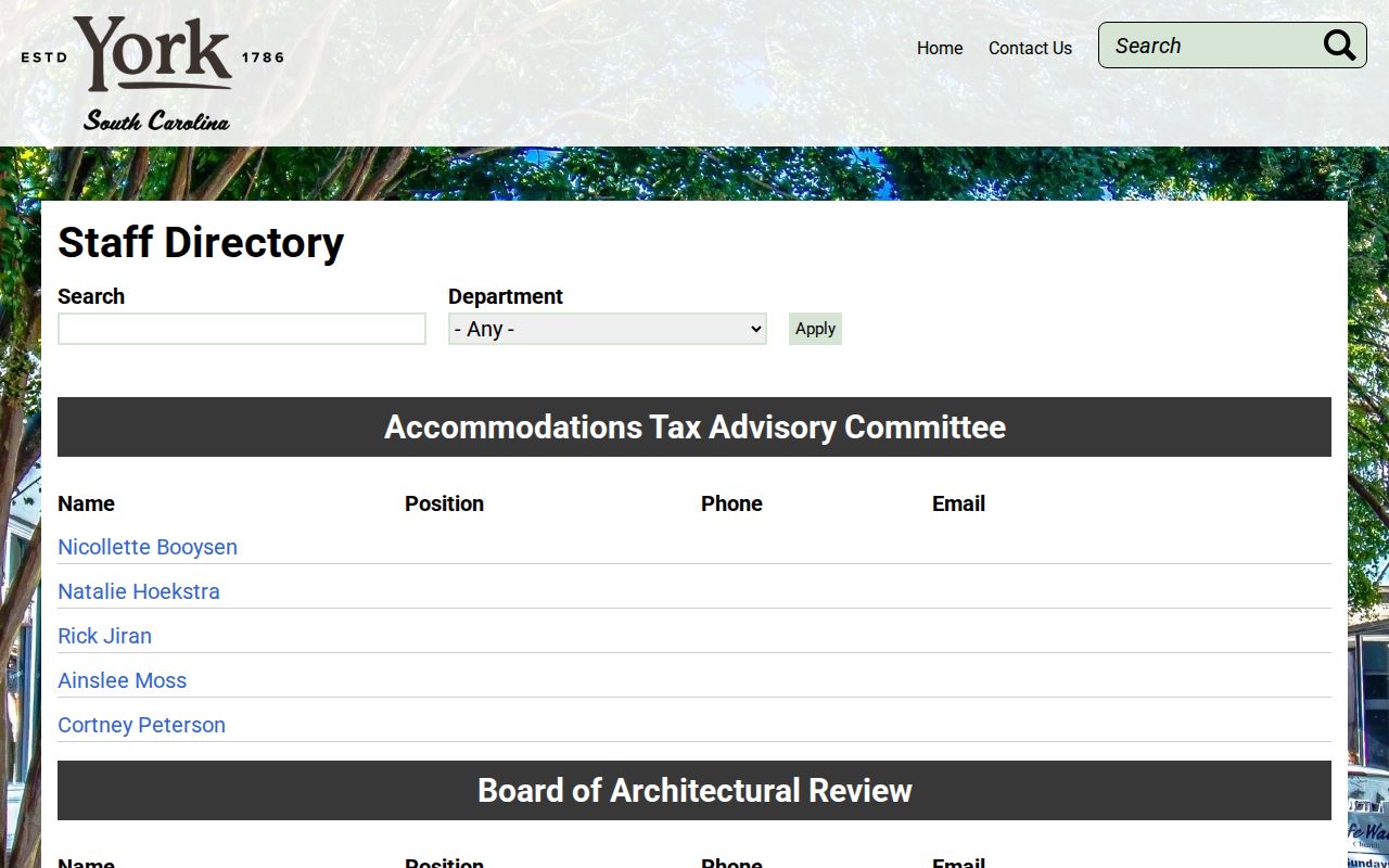
The directory identifies public offices and clerks. It does not turn a voluntary community layer into a member roster.
York County Neighbor Records Compared
Official block records and commercial neighbor tools serve different purposes. Official sources identify a custodian, record type, and access condition. A commercial people-search category may combine stale public sources, user-supplied material, and undisclosed data feeds. That difference is important when one result is being used to understand parcel geography, a recorded transfer, or a public civic contact. The official record is the source to confirm with the office that holds it.
| Official record route | Commercial neighbor category | Practical difference |
|---|---|---|
| One Map and the Assessor identify parcel and assessment context | May combine address-like data from mixed sources | Parcel fields have a named county custodian and a defined map limitation |
| Register of Deeds records instruments and legal land descriptions | May summarize or omit a document trail | The recorded instrument can be read and checked against the legal description |
| City programs publish voluntary civic contacts | May imply personal relationships from proximity | A public contact is not proof of membership or presence at an address |
South Carolina's Family Privacy Protection Act restricts knowing use of personal information obtained from a public body for commercial solicitation. It does not erase lawful public records, and it does not create a public block roster. Treat each search result as a starting point that needs a custodian, date, and record-specific check.
York County Permit Record Context
Address-specific permit and code context depends on the government boundary. York County Planning and Development handles unincorporated areas. The City of York publishes forms for building permits, historic-district work, zoning, and development. Rock Hill and Fort Mill keep municipal channels. Check One Map's Jurisdiction field before asking for a file because a mailing address alone does not establish which city or county custodian has the record.
The City of York planning and development forms are the source captured below for municipal permit and zoning categories.
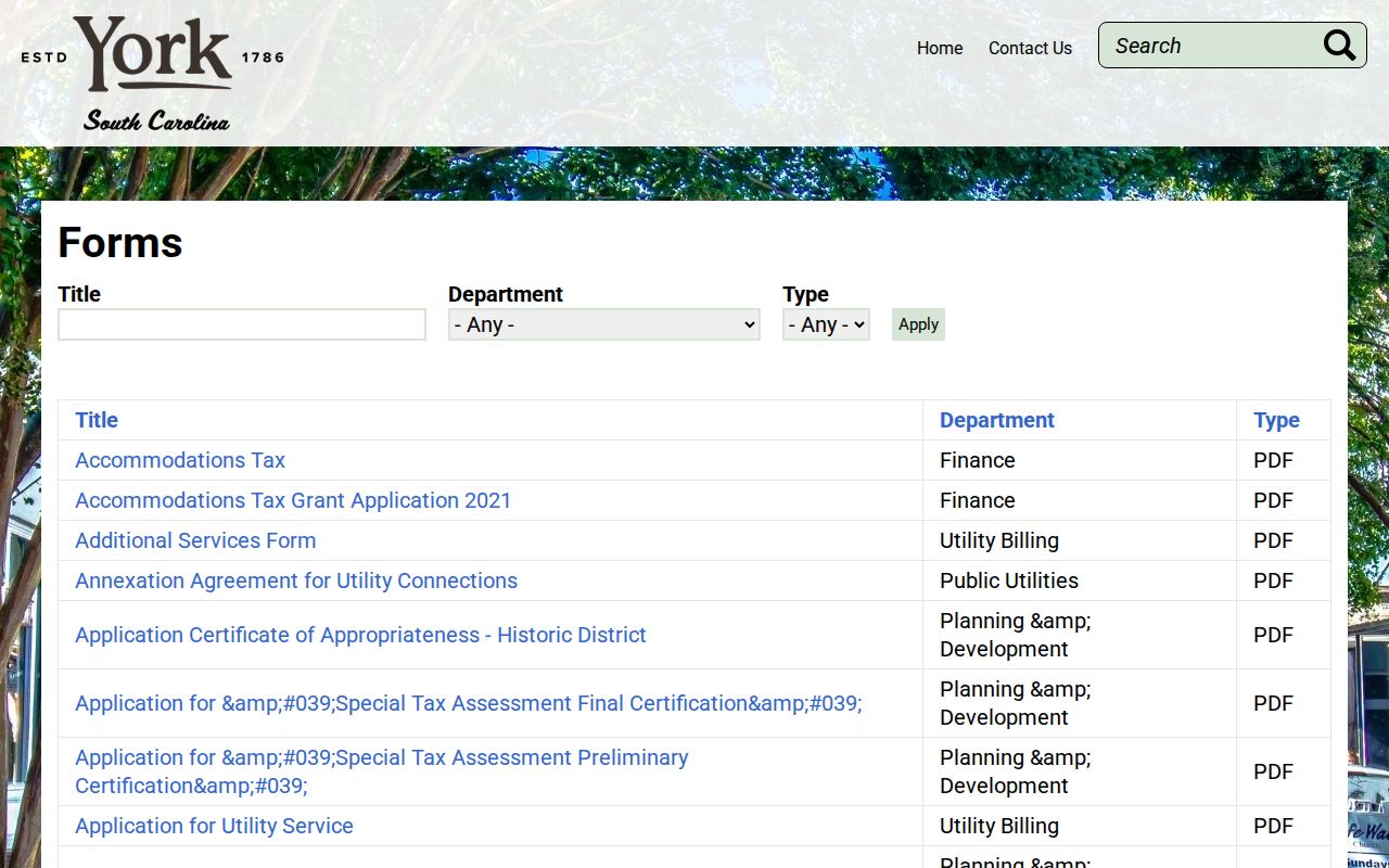
A permit file can mark an alteration, construction, or code event at a location. It does not answer who may be present on a York County block.
York County Historic Block Records
Historical sources offer a different kind of block clue. The Rock Hill historic-resources survey describes twentieth-century directories that can list a street address, head of household, surname, spouse, occupation, race, and ownership indication. It also notes that a following volume can print an old address or street name in parentheses after a change. Those entries should be tested against a deed, census, newspaper, or other independent record rather than treated as a current record.
Rock Hill Cemetery Search is another local historical source with deceased name, burial date, plot owner, Master Id, and map modes.
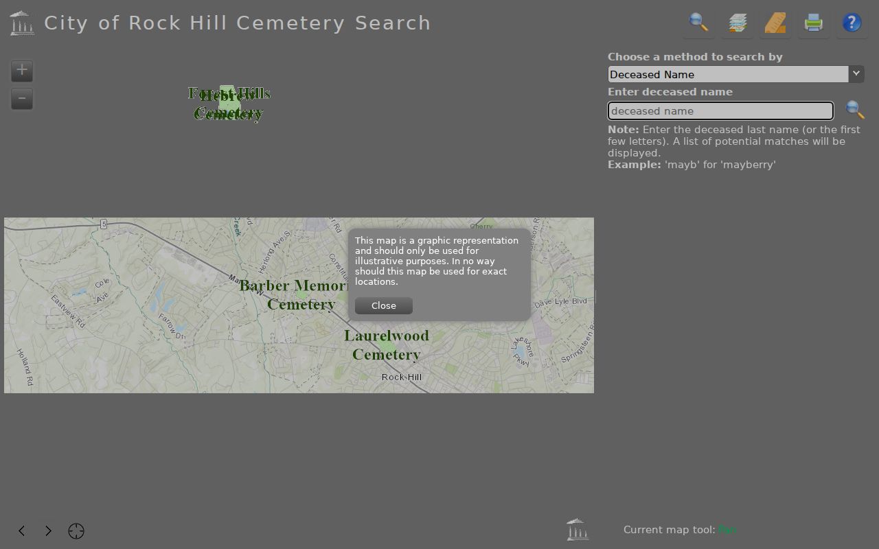
The cemetery search warns that its listings are incomplete. It can support a historical place or family question, but a no-result does not establish that no burial record exists.
York County Voter Record Access
MyscVOTES is a personal registration service, not a block browser. It requires a county, first and last name, date of birth, the last four digits of a Social Security number, and a CAPTCHA before opening the voter's own information. The service can lead a voter to registration, ballot, polling-place, and county-office tools. It does not provide a public method to browse nearby people by street, and South Carolina has no party registration field.
The State Election Commission's separate full voter-file process is available to registered South Carolina voters and documents county, district, age, sex, race, household, participation, and registration-date filters. It does not document a street-name filter. Requests are also subject to S.C. Code §30-2-50's commercial-solicitation restriction. That controlled process should not be used to describe a York County block lookup.
Note: The Historical Center lists historic voter registrations among its holdings, but the research did not verify an online year range for them.
York County Archive Record Contacts
The Historical Center and York County Library are useful when a block question becomes historical. The Center keeps local directories, maps, newspapers, family papers, church records, rare school annuals, and surname files. Its 1910 county map shows individual landowners, schools, and churches. York County Library's YCHistory collection includes selected newspaper articles, photographs, family and church histories, and typed manuscript material. These are evidence layers for a dated community question, not a current neighbor directory.
The Hart Collection adds another local research lead. It contains genealogical information on more than 75,000 York County-area families compiled from the 1950s through the 1980s, but its compiler did not retain citations. Use it to develop a question, then confirm that question in an original record. The Historical Center's staff research service accepts requests by phone, email, letter, or online form and asks for a name, dates, location, and prior research.
York County Neighbor Privacy Limits
A York County block search does not supply a complete list of people around an address. Household members, protected people, utility customers, and motor-vehicle addresses are not public block layers. A parcel owner can be a trust, estate, business, government entity, or person whose mailing address differs from the parcel. The careful result is a map of parcel records and documented civic contacts, with clear limits on what each item means.
South Carolina's Address Confidentiality Program provides a designated address for eligible participants. Qualifying judges and law-enforcement officers can also request agency-specific restrictions on certain online contact information. A restriction can change an online display without removing the source record at a counter. For an error, take the matter to the office that keeps the parcel, address, recorded document, or voter information.
Lawful use. Use York County block records for personal, lawful research and voluntary civic contact. Do not use them to stalk, harass, intimidate, or harm another person.