
York County Address Owner Deed Chain
Start a York County street directory search with an address, not a name. York County One Map supports address, Tax Map ID, and subdivision searches. Select the right result and open its report. Record the Tax Map ID, street address, subdivision, lot clues, jurisdiction, and any deed or plat link. That first step identifies a parcel candidate. It does not identify every person who may be associated with the address.
- Search the address in One Map. If more than one result is plausible, compare the Tax Map ID, subdivision, and mapped location before choosing a report.
- Preserve the property or situs address, the owner label, the mailing label if shown, and the legal-description or plat clues. Each label answers a different question.
- Use the owner or recorded-party name in the York County Online Record System. Narrow to a deed and use the date order to find the latest acquisition.
- Read the recorded document and match its lot, block, subdivision, plat, or legal description to the parcel. Search the earlier transferor as a grantee to work backward.
- For older address evidence, compare local directories, newspapers, census material, and archival holdings. A directory head of household, a deed party, and an occupant are separate evidence roles.
A street-by-street search is strongest when each handoff is saved with its source and date. One Map supplies current map and assessment context. The deed index supplies recorded land events. Historic sources can add an earlier address clue, but no single layer becomes a complete roster of a street. That is why the address, parcel identity, and legal description should travel together through the address workflow.
York County One Map Street Reports
One Map is the practical starting tool for research by street. Its report joins parcel geography with CAMA and government-context fields. Available reports may include services and utilities, stormwater, public safety, zoning, political districts, school attendance, and imagery. County material also identifies square footage, rooms, and year built as CAMA attributes. Use these fields to separate two parcels with similar street descriptions or to confirm whether an address is inside a municipality or unincorporated York County.
The county's GIS guidance is the source captured below for the address and parcel route.
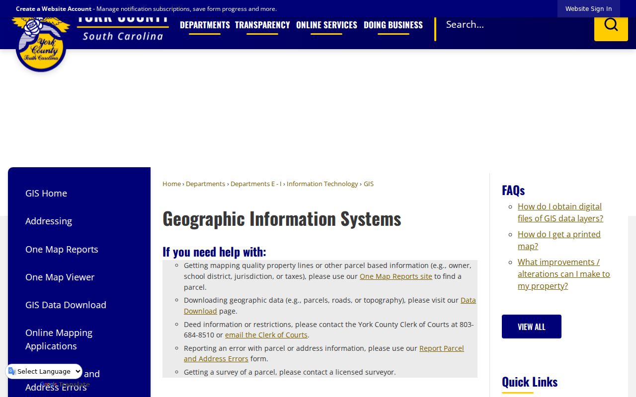
The GIS screen is a useful entry point, but the display boundary remains approximate. A recorded plat or deed controls a legal description and boundary question.
| One Map field | Control | Use on a street search |
|---|---|---|
| Property Search | Tab or button | Opens the report-focused property lookup. |
| Address | Text or autocomplete | Finds a property by street address. |
| Tax Map ID | Text | Checks the county parcel identifier, including any leading characters or zeroes. |
| Subdivision | Text or autocomplete | Helps separate parcels where one street crosses several developments. |
| Report | Button or link | Opens the selected parcel report after an address is chosen. |
| Map and layers | Interactive controls | Shows parcel, property, zoning, district, imagery, and related layers where available. |
The public Parcel Search route also permits a parcel ID, owner, or subdivision entry and uses partial matching, with results capped at 100. Treat an owner search as a way to locate a recorded party, not as proof that the person currently occupies a parcel.
York County Street Record Coverage
York County address research pulls together records that are keyed to a location in different ways. The parcel report is useful for present location and assessment context. The deed index records land transactions. Municipal or county files can add a construction or compliance date when the right custodian holds the address. Local directory volumes are historical clues. Keeping the sources separate makes the result more reliable than treating an address label as a statement about every person at that location.
| Address record | Custodian | What it provides | Access path |
|---|---|---|---|
| One Map parcel report | York County GIS | Address, Tax Map ID, parcel and CAMA context, districts, and layers | Public web map and report |
| Assessor property card | York County Assessor | Current assessment and property-card context | Evolve entry point or Assessor channel |
| Recorded deed | York County Register of Deeds | Recorded parties, transfer instrument, legal description, and plat links | Online index from January 1, 1979; counter and archives for earlier work |
| Plats and subdivision records | Register of Deeds and GIS | Lot, block, subdivision, and legal relationship | One Map link where available; recorded plat controls |
| Permit or code file | County or municipal planning custodian | Construction, alteration, or compliance context | Evolve or a jurisdiction-specific public-records request |
| Historic directory | Library or Historical Center | Past head-of-household and address clue | Local collection or Search Room |
The Register of Deeds offers online search and a counter, while the Historical Center supplies older microfilm. County planning handles unincorporated areas, and a city clerk or planning office is the appropriate channel inside a municipality. Address, jurisdiction, and record type should appear in a request so the custodian can locate the right file.
Note: An address result is a research lead; compare its Tax Map ID, legal description, and recording date before treating two entries as the same parcel.
York County Street Record Terms
Four labels often appear side by side in a York County address search. They should not be merged. A parcel and a situs address identify land. A recorded plat and legal description describe it in record terms. A reverse or criss-cross directory, when a local volume includes one, may organize historical entries by street rather than surname. The research did not verify a complete local criss-cross year run, so ask the York County Library or Historical Center for the relevant shelf or call number instead of assuming a volume exists for a given year.
- Parcel
- A mapped property unit identified by a Tax Map ID or Parcel ID for county assessment and GIS work.
- Situs address
- The street location of the parcel. It is separate from the address used for mailing.
- Plat
- A recorded map that can connect lots, blocks, subdivisions, and the legal land description. It carries more legal weight than a drawn GIS line.
- Criss-cross directory
- A directory arranged by address or street, often used to locate a historical head of household from a known address.
Rock Hill historical directory evidence has a helpful local wrinkle. A directory published after a street or address change may put an older street name or number in parentheses. Preserve both versions and the directory year. The York County City Directory collections supply the fuller historical-shelf context for that kind of evidence.
York County Street Deed Chain
Once One Map identifies the parcel, the Register of Deeds supplies the recorded land trail. Its index has a name field, date or name sorting, category controls, and property-description fields such as subdivision, lot, block, section, map, phase, unit, and property description. Standard searching uses alpha-only normalization, so spaces, punctuation, and special characters are stripped. Trying deliberate spelling variants is sensible when a result is unclear.
The York County Online Record System is the source captured here for its searchable recorded-document route.
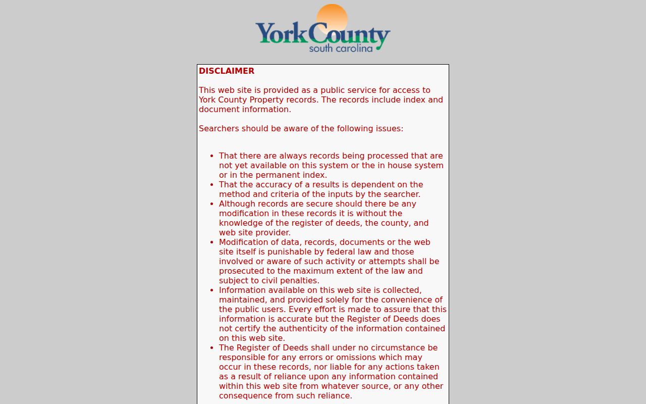
Use the index to find a recorded instrument, then read the deed itself. Its party roles, recording date, legal description, and plat reference are the pieces that keep an address chain tied to the same land.
The county's Register of Deeds coverage page records the office route behind that index.
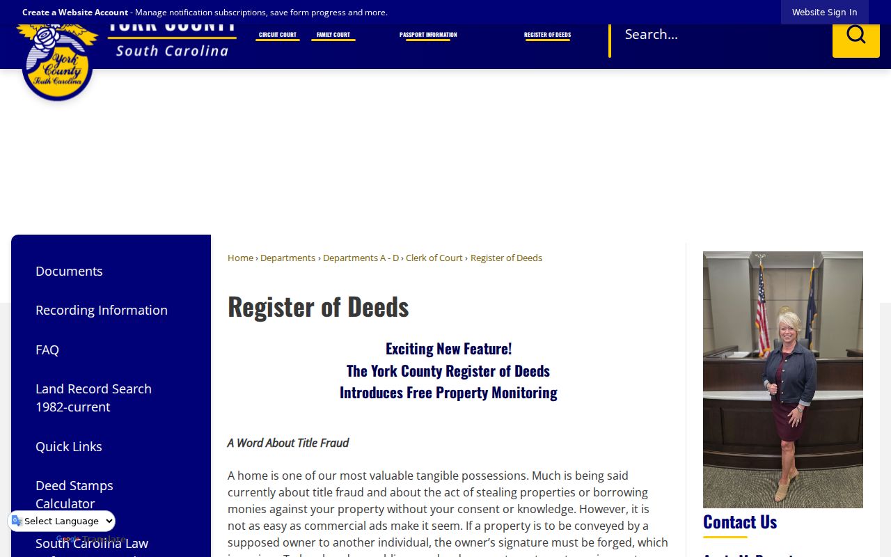
The office offers networked public computers but does not conduct title or extensive lien searches, prepare deeds, or give legal advice. For a certified true copy, the published charge is $10 per document, with cash, check, or money order accepted.
York County Record Handoff
York County has a record-type handoff that matters when address research moves into the past. Online deeds begin January 1, 1979. All plats are online. Online mortgages begin July 1, 1982. The Historical Center holds deed microfilm from 1785 through 1977 and directs transition-period work to the Register of Deeds. The South Carolina Department of Archives and History also identifies York County conveyance books for 1786 through 1950.
That overlap is a useful local quirk, not a reason to assume a missing web result means a missing record. Note the instrument type and date at every handoff. For a 1977 to 1983 question, start with the Register of Deeds counter to clarify the record type, then use Historical Center microfilm where appropriate. A current map or assessed value cannot fill a gap in the recorded chain.
York County Street Labels Shift
The County's Master Address Database is the authoritative address and street-name source for its addressing program. Most county numbering is linear-distance based, while Downtown Rock Hill and some municipal downtowns retain an older axial grid. Older half-number addresses remain in the system even though the County no longer creates them. The Addressing and Street Naming Manual estimates about 250 grandfathered examples, so an old street record may include a valid form that looks unusual today.
Street identity can change at a jurisdiction line. The manual gives Bethel Street in Clover and West Highway 55 as one example, and West Main Street in Rock Hill and York Highway as another. Retain both names, the jurisdiction, and the document date while comparing records. That small habit prevents a current street search from discarding a historical parcel or directory clue too quickly.
York County Street Permit Records
Permit and code records can place an event at an address, but the city or county boundary decides who keeps the file. Use One Map's Jurisdiction field before choosing a custodian. York County Planning and Development handles unincorporated-area work and provides online permitting and plan review. The City of York maintains forms for building permits, historic-district work, zoning, and development. Rock Hill and Fort Mill maintain their own municipal channels.
The City of York FOIA instructions provide the municipal request route for city-held files.
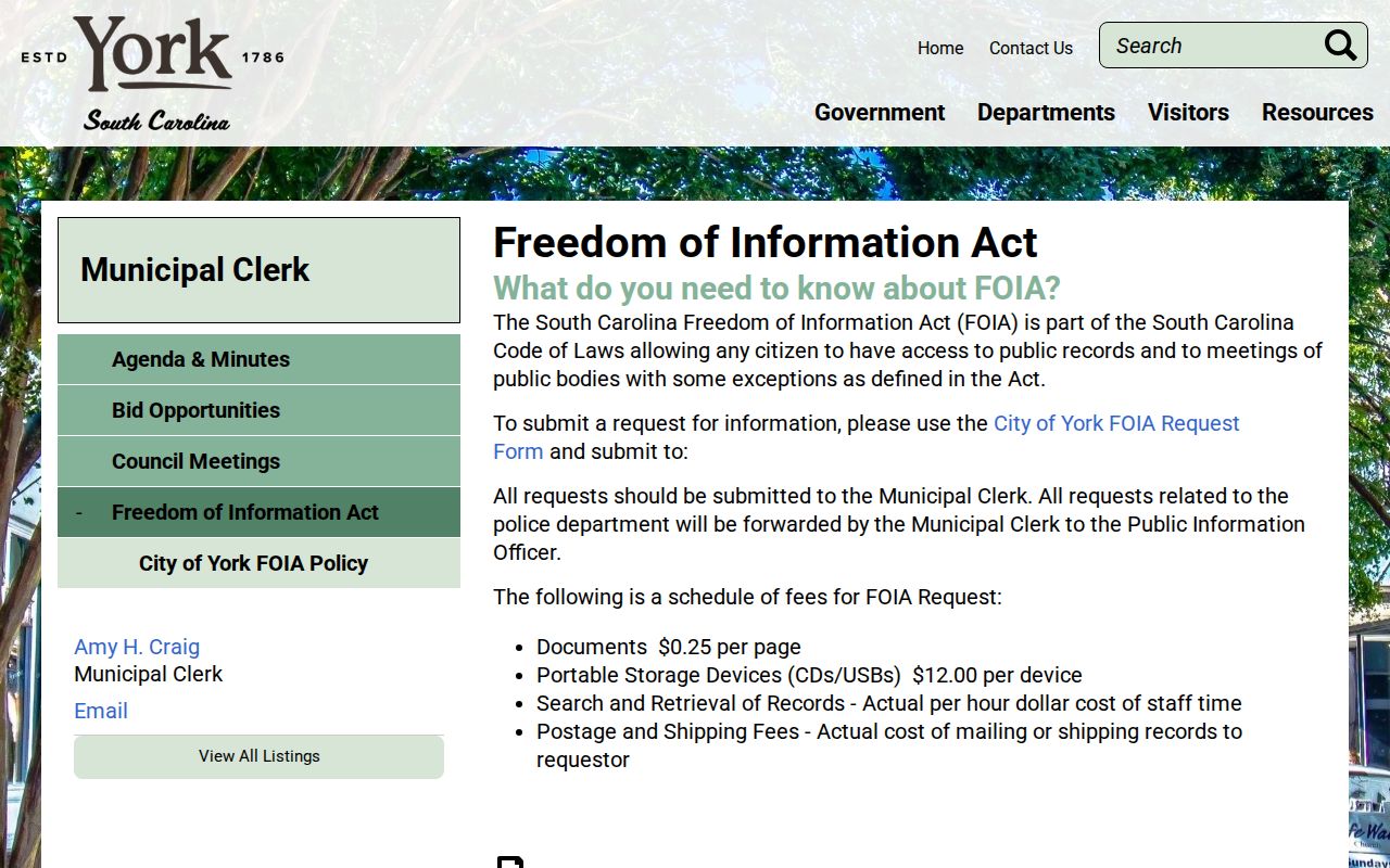
City policy calls for a specific written request. A street address, date range, and file type make a permit, code, or zoning request easier to route.
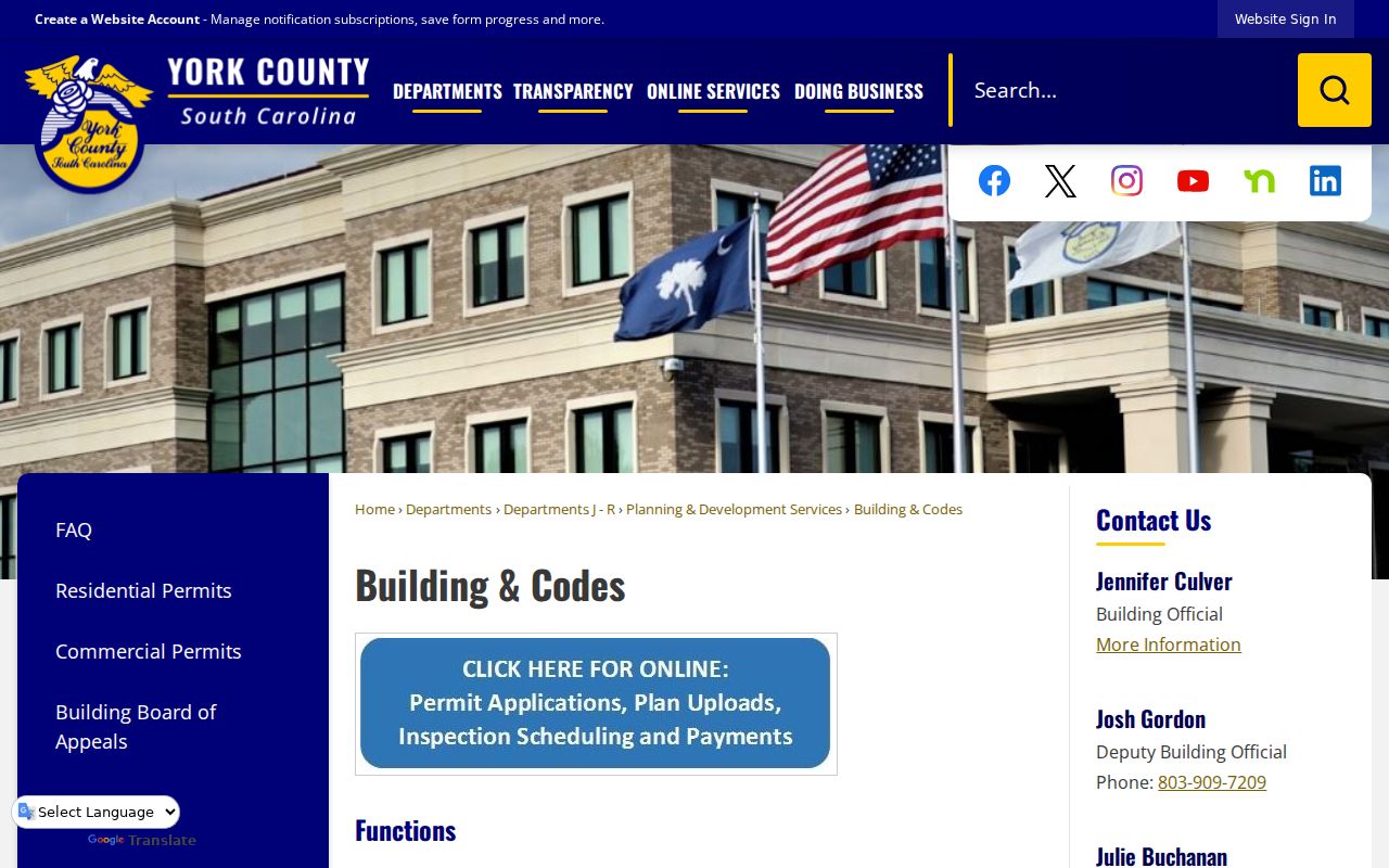
The county's Building and Codes office is the documented county-side channel for address-specific construction and code context.
A permit can help date construction or an alteration. It does not establish a move-in date or identify everyone connected with a location.
York County Street Voter Limits
South Carolina's two voter channels answer very different questions. MyscVOTES is an individual's credentialed service. It requires county, first name, last name, date of birth, the last four digits of a Social Security number, and a CAPTCHA. It is useful for checking one's own registration information, not for browsing a York County street. South Carolina has no party registration, so a primary choice is not a registration field.
The State Election Commission separately offers a voter-list purchase process for registered South Carolina voters, with county and district choices among its documented filters. The official criteria do not identify a street-name filter. Its request process is subject to the commercial-solicitation restriction in S.C. Code §30-2-50. A controlled aggregate request is therefore not a block-search tool and should not be recast as a public block browse.
Note: Historic voter registrations may be among Historical Center holdings, but no public online coverage range was verified for those archival records.
York County Street Directory Limits
A map shows parcels, not a list of people. A property label can name an individual, business, estate, trust, or government entity. Mailing and situs addresses can differ. A directory can identify a past head of household, and a permit can mark work at a location. None of those records establishes every current person connected with an address. Utility-customer and motor-vehicle address data are not public street-browse layers.
South Carolina also has limits for protected information. The Address Confidentiality Program assigns a designated address to eligible participants, while qualifying judges and law-enforcement officers may request agency-specific online restrictions for certain personal contact information. A restriction may affect an online display without changing the original record held at a counter. For a government-record correction, contact the custodian that keeps the relevant parcel, recorded document, or voter record.
Lawful use. Use York County street and address records only for personal, lawful research. Do not use them to stalk, harass, intimidate, or harm another person.